What's Actually Changing on the Streets of Dangriga This Year
September 10, 2026
September 10, 2026
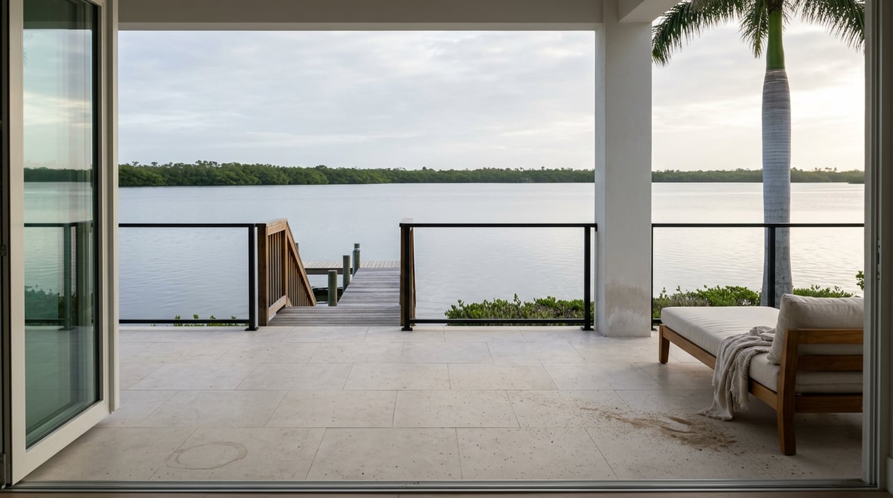
"Between the town pier and Pelican, you will see a big carve out, a big U," Dangriga area representative Dr. Louis Zabaneh said at a May ceremony marking the start of a new coastal project. "Where the stones are on the pier, that is where the sand use to be."
That single image, stones where sand used to sit, tells you more about what's really happening in Dangriga this year than any of the headlines attached to it. Three different efforts are touching three different stretches of town right now: a street repair program, a push to move vendors off the main roads, and a coastal resilience project launched with international funding. They get talked about together because they all involve the Town Council and they're all unfolding in 2026. But they are not one plan. They move at different speeds, answer to different funders, and only one of them has actually changed anything you can see yet.
In May 2026, the Government of Belize and the Protected Areas Conservation Trust launched an $8 million Belize dollar project at the Multipurpose Park in Dangriga, funded through the Adaptation Fund and titled "Enhancing the Resilience of Belize's Coastal Communities to Climate Change Impacts." The launch drew Minister of Blue Economy Andre Perez, PACT's executive director, and Dr. Zabaneh, whose comments about the eroded stretch between the town pier, past the area near Pelican Beach Resort, down toward the point by Social Security and the Ministry of Education, and on to Commerce Bight gave the project its most vivid public moment.
Here's what tends to get lost after a launch ceremony like that: the project doesn't serve Dangriga alone. It covers 27 coastal communities across the Belize, Corozal, Stann Creek, and Toledo districts, and it's built around four work streams, improving coastal land use, strengthening vulnerability monitoring, supporting protection and adaptation responses, and building local capacity to plan for climate risk. Only one of those four buckets is about physical protection work, and even that bucket is described as "responses," not a completed structure. The other three are data collection, planning frameworks, and training, the kind of groundwork that has to happen before anyone pours concrete on an eroding shoreline.
None of that makes the launch meaningless. Commerce Bight was once the deepest natural port in the country, the place where bananas were loaded onto ships bound for New Orleans in the early twentieth century. A serious, funded effort to understand and eventually slow the erosion along that same stretch matters for a town whose waterfront has always been central to its identity. But if you walk down to the pier this year expecting a seawall or a rebuilt shoreline, you'll find the same carve out Dr. Zabaneh described in May. The visible work, if it comes, is still ahead of this project's current phase.
While the coastal project was getting national attention, the more mundane work was already reshaping how people move through downtown. Mayor Robert Mariano's Town Council has been running a street rehabilitation campaign that reached Church Street this year, repairing the stretch between Front Street and Commerce Street that was damaged by flooding during last year's rainy season. According to the council, this is the third major street repair initiative it has undertaken since January, and the current phase also includes drainage work along the north side of the convent and near the Catholic church, addressing a problem residents in that part of town have dealt with for years.
This is the one project on the list that doesn't need a press conference to prove it happened. If you drive or walk that block, the difference is under your tires. The council has partnered with the Ministry of Infrastructure Development and Housing on the work, which puts it in the same category as national road projects but with a much smaller, much more local footprint, one flooded block at a time rather than a district-wide highway plan.
The third piece is the one with the most friction behind it. In April 2026, the Town Council held a public consultation aimed at moving street vendors off Ecumenical Drive and away from the area near the bus terminal, requiring them to sell produce, fish, and meat from inside the Dangriga Central Market instead. The stated reasons were traffic flow, emergency vehicle access, and a cleaner first impression for visitors looking for a place to buy souvenirs or food.
What makes this worth paying attention to isn't the traffic argument. It's what Market Councilor Hilberto Bernardez said while making the case for the move.
"The Dangriga market is dead in comparison to the different markets around town," he said, pointing to Belize City, Cayo, Belmopan, Punta Gorda, Orange Walk, and Corozal as examples of towns with markets that already pull steady business. "So Dangriga is a bit behind."
That's a striking thing for the official leading the relocation effort to say out loud. Vendors moved to the street in the first place because the market building wasn't drawing customers on its own, and the council's answer is to require them back into that same building rather than fix what made it underperform to begin with. The vendors' worry, according to those who spoke at the consultation, is straightforward: the street has foot traffic, and the market square doesn't yet. Whether that changes depends on whether the council's plan does more than reroute people, whether it actually gives them a reason to walk that extra block.
If you shop at the market stalls near the bridge or grab breakfast from a street vendor on your way to work, this is the change most likely to touch your routine directly, more than the pier work, more than the paving.
Laid side by side, the three efforts sort cleanly into what's already changed and what's still being built toward:
That order matters if you're trying to figure out what your next few months in town will actually look like. The paved street is finished business. The market fight is a live negotiation between the council's traffic and tourism goals and the vendors' need for foot traffic, and it will likely play out over the rest of the year. The coastal project is the one people will keep referencing because it comes with a dollar figure and ministers at a podium, but it's the one least likely to change the view from the pier before next year.
Dangriga has always run at its own pace. Garifuna settlers arrived on this stretch of coast in 1832, and the town didn't take the name Dangriga, meaning standing waters, until 1975. The projects moving through it this year are smaller and slower than the headlines about them suggest, but they're the kind of granular, block-by-block change that adds up to what a town actually feels like to live in.
If you're weighing what any of this means for property values, rental demand, or the long-term direction of Stann Creek's largest town, that's a different conversation, and it's one New Dawn Realty is glad to have. We track these local shifts across Belize's coastal communities because they're the details that inform good decisions, whether you're already settled in Dangriga or considering what comes next.
Stay up to date on the latest real estate trends.